Sargassum Map 2026: Live Caribbean & Belize Seaweed Tracker
Live sargassum map for 2026, updated daily from NOAA satellite data: see where seaweed is across the Caribbean right now, the Belize beach-risk forecast
At a glance
About this Belize website
Live sargassum map for 2026, updated daily from NOAA satellite data: see where seaweed is across the Caribbean right now, the Belize beach-risk forecast
- Publisher
- belizetravelinsider.com
- First discovered
- 16 September 2026
- Last checked
- 16 September 2026
Information found on this page
Highlights and services
Satellites beat rumors
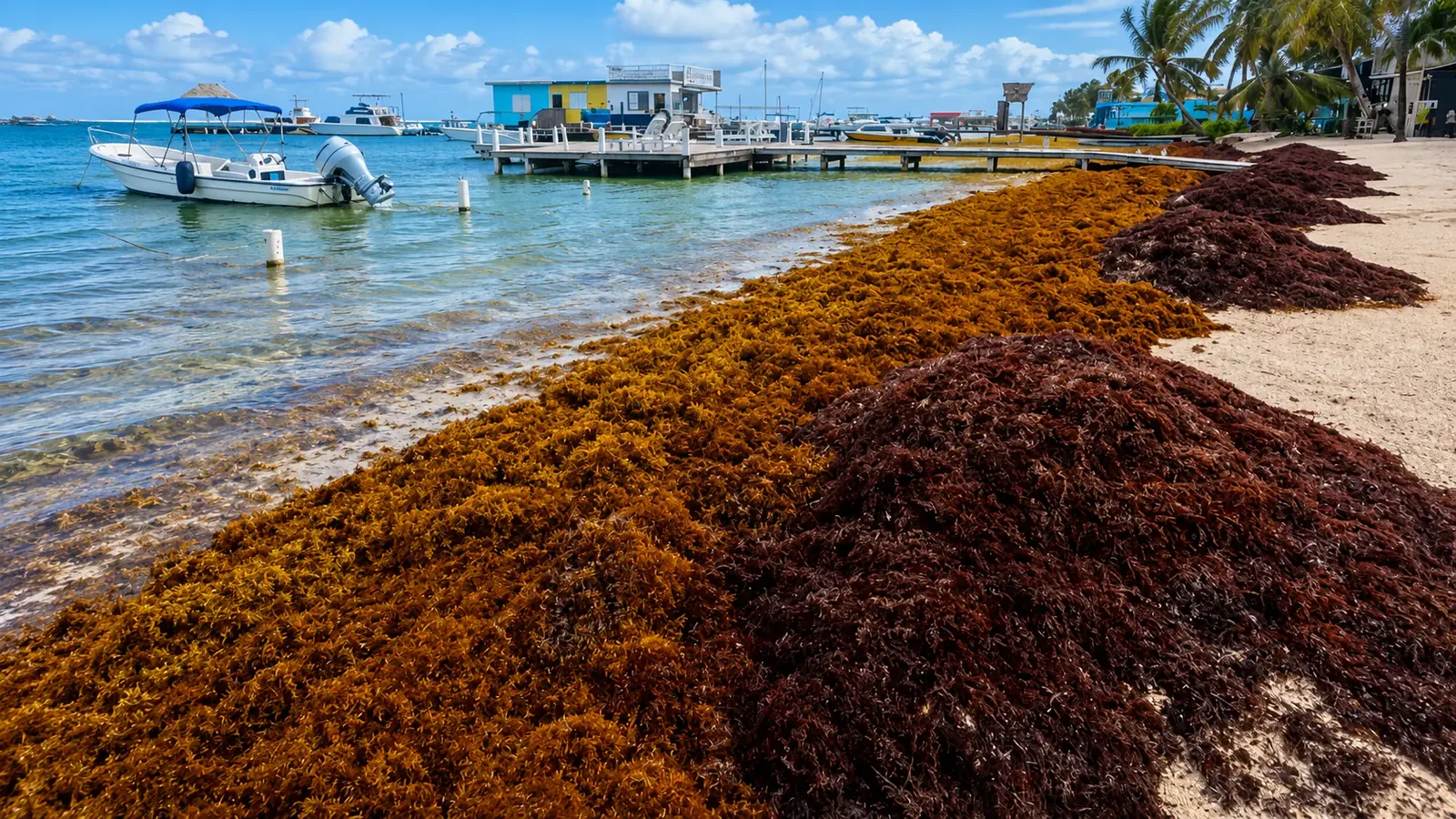
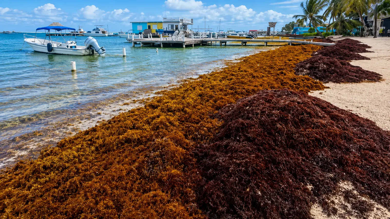
This page tracks floating sargassum across the Caribbean in near-real time and translates it into a beach-level risk read for Belize. The regional map shows the open-ocean signal from NOAA; the forecast below it shows what that means for Ambergris Caye, Caye Caulker, Placencia, and Hopkins this week.Reviewed by Rowan·Last reviewed August 30, 2026Map data: NOAA CoastWatch, refreshed dailySargassum conditions change week to week. Check Belize forecasts, NOAA/AOML reports, and local operator updates before travel, especially June through October.Full sargassum guideQuick NavigationLive mapBelize risk forecastBeyond BelizeHow to read it
Sargassum map 2026: where the seaweed is right now
Use this live sargassum seaweed map for 2026 to see the 7-day floating sargassum signal across the Caribbean before it drifts toward Belize.Brighter greens, yellows, and reds mean denser floating sargassum. Blues and purples mean clear open water.This is the regional open-ocean picture, not a beach-by-beach cleanup report. Pair it with the Belize sargassum forecast above for local beach impact.The barrier reef blocks much of what you see here from reaching inner-reef and lagoon swimming areas.Open the NOAA sargassum map